 ENEA Antarctic Data Center
GLACIERS/ICE SHEETS
Type of resources
Topics
INSPIRE themes
Keywords
Contact for the resource
Provided by
Formats
Representation types
status
Scale
-
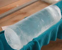
The IPICS-2kyr-Italia project, through multiple perforations in the Antarctic ice sheet, aims to provide new data on climatic variability over the last 2000 years. The ice caps are natural archives of the Earth's climatic and environmental history. The extraction of snow and ice cores have taken place during the summer Antarctic campaign (November 2013 - January 2014). The drilling site GV7 (70°41'S, 158°52'E; 1950 m), was chosen for the high snow accumulation and was located about 500 km from Mario Zucchelli Station.
-
Core samples of the drilling site GV7 are studied by chemical, isotopic and physical analyses of the dust and gases contained in the ice. It will thus be possible to reconstruct the evolution of temperatures, the composition of the atmosphere and atmospheric circulation, the frequency of volcanic eruptions and the air pollution produced by human activities over the last millennium with considerable temporal detail. Analysis: isotopic composition, oxygen and hydrogen content (UniVe and UniPR); tephra (ENEA); wind power (UniMib); trace metals (CNR); ion content chemistry (UniFi).
-
The IPICS-2kyr-Italia project, through multiple perforations in the Antarctic ice sheet, aims to provide new data on climatic variability over the last 2000 years. The ice caps of the polar caps are valuable natural archives of the Earth's climatic and environmental history. The extraction of the snow and ice cores have taken place during the summer campaign of the Italian expedition to Antarctica 2013/2014. The drilling site GV7 (70°41'S, 158°52'E; 1950 m), chosen for the high snow accumulation, is about 500 km from Mario Zucchelli Station. Drill up to 250 - 500m. Core samples will be studied by chemical, isotopic and physical analyses of the dust and gases contained in the ice. It will thus be possible to reconstruct the evolution of temperatures, the composition of the atmosphere and atmospheric circulation, the frequency of volcanic eruptions and the air pollution produced by human activities over the last millennium with considerable temporal detail.
-
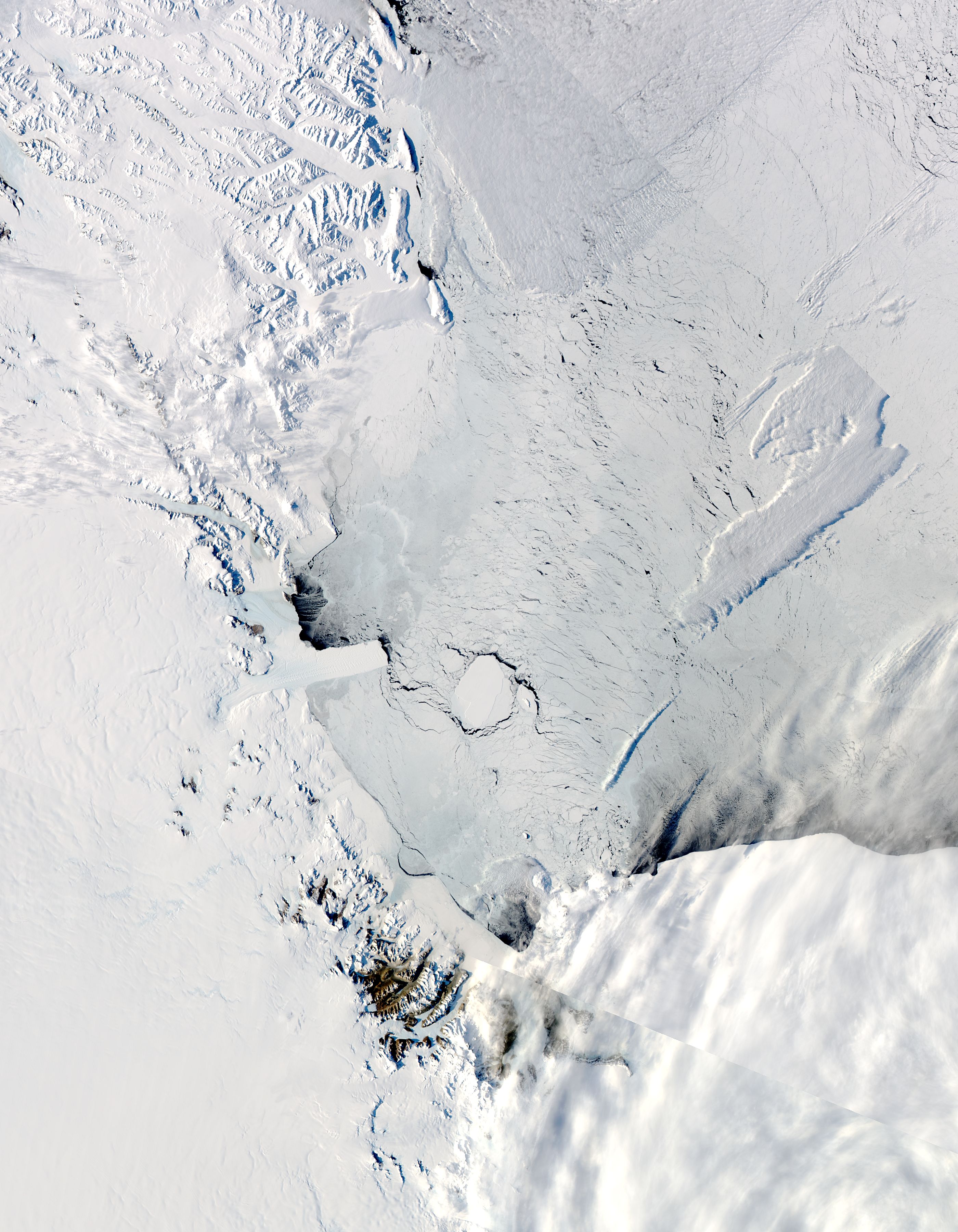
The aim of the MAss LOst in wind fluX (MALOX) project is to better understand the phenomenon of snow transport over a coastal area characterized by strong winds. MALOX relies on a multi-disciplinary approach based on both in situ and remote sensing measurements. Satellite data (MODIS, CALIPSO) analysis will provide spatial and vertical extension of the transport phenomenon. In situ microphysical, thermodynamic, and radiative observations will be aimed at determining the surface and column integrated water content, and characterizing the wind flux at local scale during the summer. Observations will be carried out also during the winter period to observe stronger transport events and to create a complete dataset which will provide a qualitative estimate of the mass loss due to blowing snow sublimation through the difference between the water content measured at two sites along the main wind path on steep slopes, one upstream of the convergence zone of the katabatic flux (Larsen Glacier, LS, 74°57'S 161°46'E) and the other downstream, near the coast (Inexpressible Island, InS, 74°56’S 163°41’E).